

Location: 2.5 km road tunnel, Norway
Objective: Demonstrate drone-based tunnel inspection using the Scout 137 Drone System
Environment: Confined and cramped space between tunnel lining and concrete-sprayed rock.
Outcome: Successful flight showcasing drone stability, crisp visual footage and 3D mapping for maintenance planning.
Executive summary
ScoutDI’s Scout 137 Drone System replaces risky, slow tunnel inspections with a safer, faster, and more accurate method. Using LiDAR-based SLAM for GPS-free navigation and tethered power for unlimited flight time, it captures high-resolution visuals and 3D maps without human entry or major road closures. Data streams in real-time to the cloud-based Scout Portal, enabling same-day analysis and easy integration into asset management systems. The result: inspections in hours instead of days, with improved safety and decision-making efficiency.
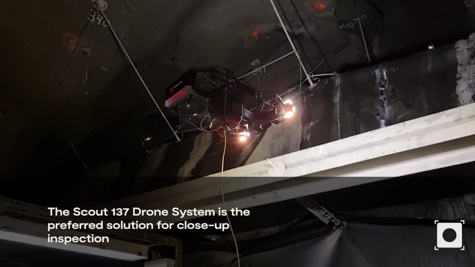 VimeoStrindheimtunnellen x Scout 137 Drone System0:39
Inspecting rock formations in Trondheim’s tunnel system.
Regular inspections of tunnel reinforcement layers, such as shotcrete and concrete tunnel lining, are crucial for identifying structural weaknesses, water ingress, or signs of detachment.
In Trondheim, Norway, road authorities identified concerns regarding cracks in the shotcrete reinforcement, likely resulting from movements in the underlying rock. Geologists discovered the cracks during a scheduled five-year inspection.
Traditional inspection methods—like scaffolding, mobile lifts or fall-arrest climbing— require extensive planning and setup, prolonged road closures, and personnel working in confined spaces. Besides, these methods involve hand-held cameras that don’t provide 3D data…
By obtaining precise measurements from the drone, we know exactly how much space we have to work with and can accurately calculate how much rock needs to be removed in areas where there isn’t enough room for reinforcement today.
— Johnny Skår, Statens Vegvesen (Norwegian National Road Authorities)
As a feasibility assessment, the Scout 137 Drone System was deployed to carry out a high-resolution close-up visual inspection, capturing both video and photos, and generate a 3D map of the affected area, a valuable dataset for clearance assessments and maintenance work planning.
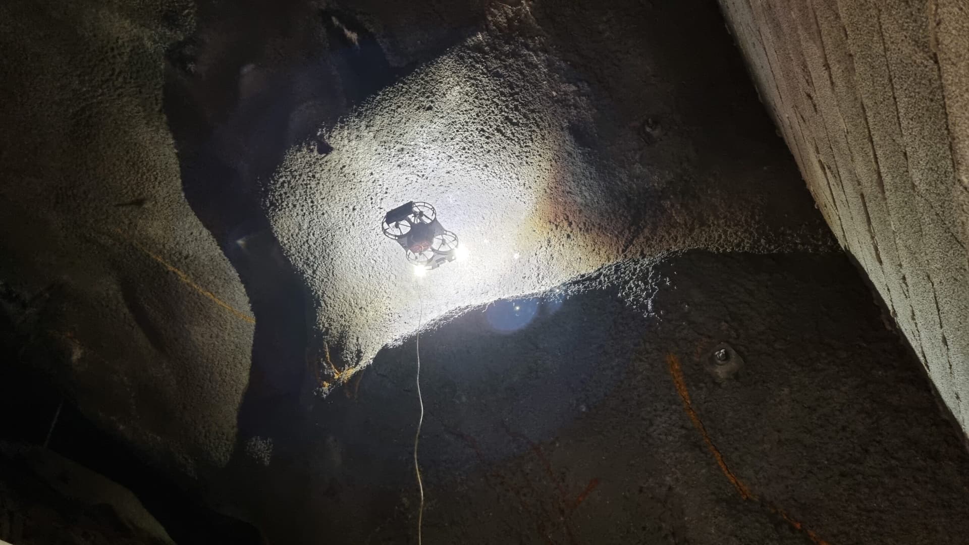
Precision Flying in Tight Spaces
The challenge? Flying between the shotcrete-covered rock surfaces and the tunnel lining, maintaining precise stability while collecting high-resolution data.
The Scout 137 Drone excels in such conditions, using its fully wired control system and advanced proprietary SLAM-based positioning and stabilization to navigate confined spaces safely.
Key benefits of using Scout 137 for this case:
- Rock-steady operation in confined spaces – No reliance on GPS or ambient lights like “normal” drones but ensuring precise control using 3D LiDAR.
- 3D mapping for clearance and maintenance planning – Authorities gained accurate spatial data to assess clearance for potential equipment use.
- High-resolution video and image capture – The inspection data was available to geologists and maintenance teams the same night.
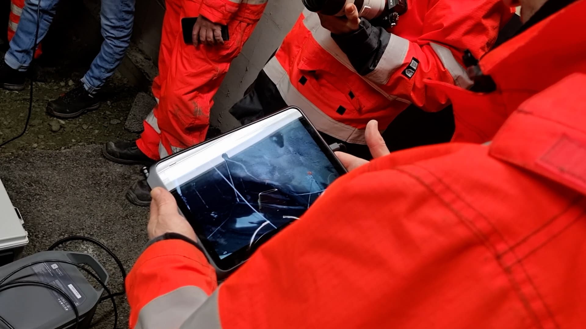
- Live monitoring with Scout Observer – In addition to the pilot screen, other road authority stakeholders could follow the inspection in real-time, promoting informed decision-making.
Supporting Smarter Infrastructure Inspection and Maintenance
By eliminating the need for demanding access methods, the Scout 137 Drone System enables fast, data-driven decision-making while minimizing disruption to tunnel traffic.
The drone provides a stable platform for capturing high-resolution imagery and generating detailed 3D data, offering valuable insights for equipment placement and long-term maintenance planning.
This approach not only improves safety by reducing human entry into hazardous zones but also allows for quicker response times when critical infrastructure needs assessment.
VimeoStrindheimtunnellen x Scout 137 Drone System0:39 

